Drive the length of Diamond Hill Road in Cumberland on a Saturday morning in September and you will pass three parking lots within about a quarter mile of each other, each one filling with people who have no idea the other two exist. At 2920, families are loading apples into paper bags and waiting on a breakfast sandwich from the farm stand window. At 4097, someone is unfolding a beach chair near the bandstand pond while another car pulls in specifically to find the trailhead for a path that ends 33 miles away in Massachusetts. At 4174, a rider in full-face gear is walking his bike across the street from the ice cream shop toward a gate most drivers on this road have never noticed.
Same road. Same hill, technically. Three almost entirely separate versions of a Saturday, and the town quietly added a fourth to the mix last year.
The Farm Stand Doesn't Know About the Flow Trails
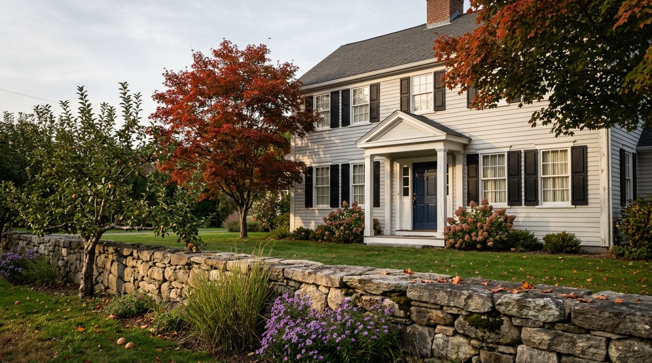
Phantom Farms sits at 2920 Diamond Hill Road, and for most people who grew up in Cumberland it is Diamond Hill Road. The orchard runs the season the way it always has: apples, peaches, pears and pumpkins depending on the month, hayrides once the weather turns, a farm stand and gift shop stocked with fudge and jams, and a sitting room with a wood vaulted ceiling where people order coffee and a pastry before heading out to pick. It is the kind of stop that anchors a weekend routine without anyone thinking of it as an event.
Keep driving north and the road becomes something else entirely. A mile or so up, at 4097 Diamond Hill Road, is Diamond Hill Park, and past that, at 4174, is a second, unmarked lot that mountain bikers use to reach a trail network with names like Rhody Flow, Rhody-O, Chuck Norris and Clyde Frog. These are downhill runs built with berms, drops and jumps, and the local riding community treats the steepest of them, a climb called Condo Access Road with an average grade over 10 percent, as the place you go when you actually want the workout. One popular segment through the network, nicknamed the Smilov Sneak, has logged rides from close to a thousand different cyclists. None of this shows up if you're only stopping for apples.
The Same Hill Also Grew a Ski Area
What makes the split make sense is what the hill used to be. Diamond Hill takes its name from the mica flecked in its quartz face, which catches the light enough that early settlers named it for sparkling. The summit sits 481 feet up, and on a clear day you can see the Boston skyline and Mount Wachusett from it. In 1935, a group of local landowners donated 235 acres on the hill to the state, and ski trails went in shortly after. A hike-up, ski-down operation called Ski Valley ran from 1939 to 1981, and a second area, Diamond Hill Reservation, operated into the mid-1980s before both closed. The town bought the land back from the state in 1997, and the old cut ski slopes are now the same terrain the mountain bikers ride and the same terrain that ordinary hikers walk to the summit for the view. The hill has always been built for people moving through it fast and people moving through it slowly. It just used to be one activity instead of two.
The Warner Trail also starts from the main park lot at 4097, and this is the piece most residents miss entirely. It's a 33 mile trail that runs from Cumberland into Sharon, Massachusetts, and the first stretch, a shorter loop through the woods past an old water tank and ski slope footings, is walkable in an afternoon without any of the elevation drama of the bike side. Three uses, one entrance, almost no overlap in who shows up for which.
The Park Just Got a Building, and the Carnival Didn't Come Back
The version of Diamond Hill Park that longtime residents remember from August is CumberlandFest, a three day carnival with midway rides and a fireworks finale that ran for three decades and raised over a million dollars for local youth programs over its run. It didn't come back this year. In its place, for the fourth year running, is the Cumberland Community Celebration, held this year on August 8 as a single evening from 4 to 9 p.m. with food trucks, two bands on a stage overlooking the pond, artisan vendors curated by Providence's Juicy Market, a beverage station from Good Vibes Beverages, and fireworks at dusk.
Parks and Recreation director Mike Crawley, who organizes the event, has been candid with local reporters that reaction to the swap is mixed. Some residents like a calmer evening without the rides and games. Others miss the bigger production. The celebration has also doubled as an informal open house for the new Lodge at Diamond Hill, a function-hall building that first opened its doors to the public during last year's gathering and hosted the event again this past August, a sign the park itself is still being built out even as its signature event has been scaled down.
The Free Concerts Run on a Sunset Clock
Separate from the August celebration, the park also hosts a recurring Food Truck Concert Nights series through the warmer months, and the hours tell you something about how the town is managing the season. In April and August, the trucks run 5 to 8 p.m. In May, June and July, at the peak of long daylight, the window stretches to 5 to 8:30. By September, it shrinks again, this time to 4 to 7:30, chasing the earlier sunset rather than fighting it. If you've been to one of these nights in July and show up expecting the same schedule in September, you'll find the music wrapping up while there's still enough light to feel like you arrived early. The next one lands on the calendar for September 12, and it's effectively the last regular gathering at the pond before the hill quietly hands itself back over to hikers, bikers and apple pickers for the fall.
A Corridor, Not a Single Stop
None of this is complicated once you know the layout, which is exactly why it's worth writing down.
| Address | What's there | Best for |
|---|---|---|
| 2920 Diamond Hill Road | Phantom Farms orchard, farm stand, fall hayrides | Morning stop before the hill gets busy |
| 4097 Diamond Hill Road | Diamond Hill Park, pond, bandstand, new Lodge, Warner Trail trailhead | Family picnics, the summer concert series, longer hikes |
| 4174 Diamond Hill Road | Mountain bike trail lot | Downhill and cross country riding, entered separately from the park |
The town's own guidance for the park side is simple: stay on the marked trails, no hunting or fishing, dogs on a leash. The rules on the bike side are informal but well understood by the riding community, since the technical trails cross onto land that isn't part of the town park at all, which is why the entrance sits a few hundred feet up the road rather than sharing the main lot.
What ties the whole corridor together isn't a shared parking lot or a shared crowd. It's that all three stops sit inside a single fold of the same 373 acre hill, one that has been repurposed at least three times in the last century without ever losing its basic shape. A ski slope becomes a downhill bike run. A summit trail used by hikers in wool coats in the 1940s is the same summit trail people climb now for the Boston skyline view. An orchard that's been selling apples for generations sits a mile from a building that opened its doors last year. Cumberland doesn't often get credit for holding this much range in one stretch of road, mostly because so few people who live here have reason to see all of it in a single visit.
If you're the kind of person who already has a favorite entrance on this road, that's worth knowing about the other two. And if a hill this layered, this historically stubborn about reinventing itself while staying exactly where it is, sounds like the kind of place you'd want to actually live near rather than just visit on a Saturday, that's a conversation Lisa Ardente is always glad to have.
